
* Location
Leonay is a suburb of Sydney, in the state of New South Wales, Australia 58 kilometres west of the Sydney central business district, in the local government area of the City of Penrith. It is part of the Greater Western Sydney region.
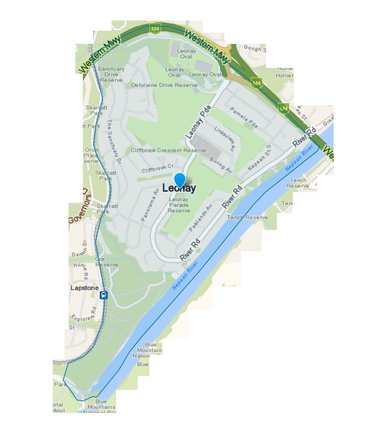
Leonay is located on the western side of the Nepean River, at the foot of the Blue Mountains. The suburb is bounded by the M4 Motorway, the western railway line, and the Nepean River. One of Leonay’s prominent features is the golf course which meanders through the suburb.
* History
The first British explorers known to have visited Leonay were Jamison, Johnston, Wentworth and Jones in 1818 who named Glenbrook Creek at the point where it enters the Nepean River in what is now Leonay. For many years it was considered part of neighbouring Emu Plains first as part of Sir Francis Forbes’ Edinglassie Estate and then as part of Leo Buring’s vineyard, Leonay. The area was once the vineyard of Leo Buring, the suburb is named after Leo and his wife Nay. During the early years of settlement, Buring had a small fort, Fort Sanctuary, constructed to overlook his vineyard. Following Buring’s death in 1961, the vineyard closed down and most of the land was sold to developers. The first houses were built in 1965 and in 1974, the name was officially changed to Leonay. Leonay Post Office opened on 1 December 1977 and closed in 1979. Many homeless individuals made use of Fort Sanctuary as a shelter until it was boarded up in 1987; a small but influential local movement exists calling for the fort to be heritage listed.
* Leonay Timeline by Penrith City Council

Places of Interest
